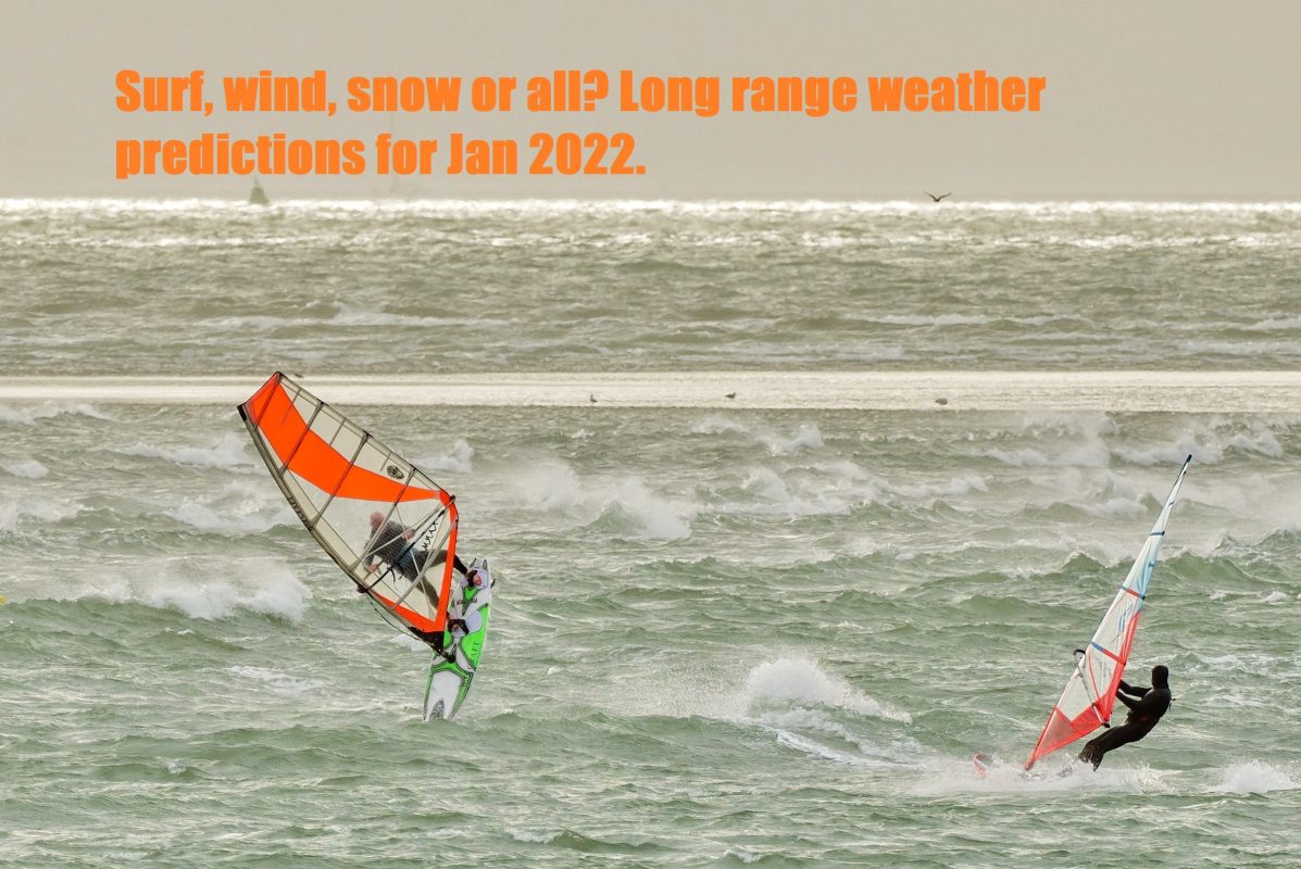
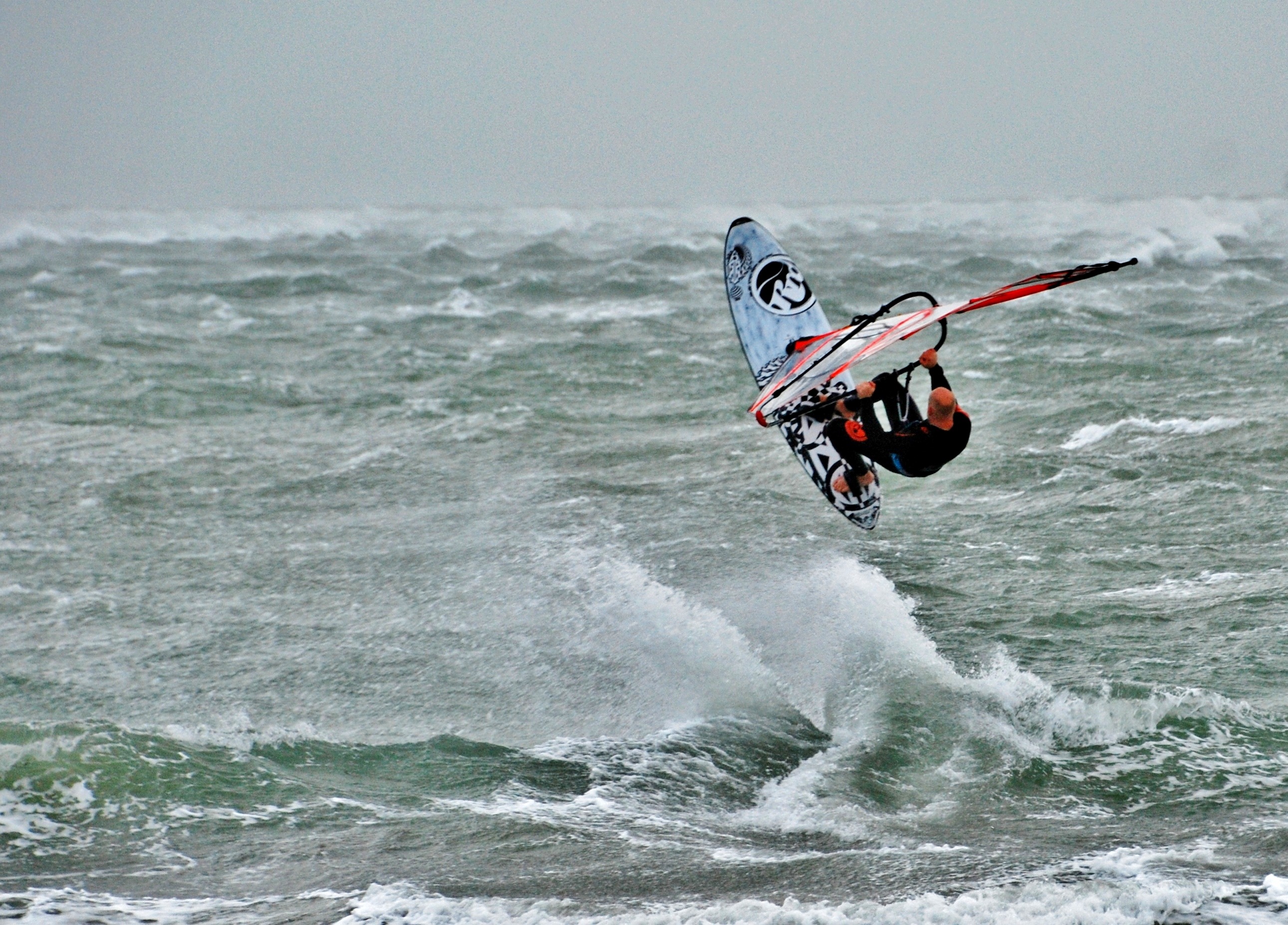
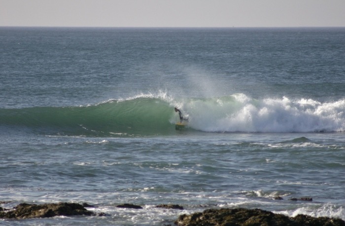
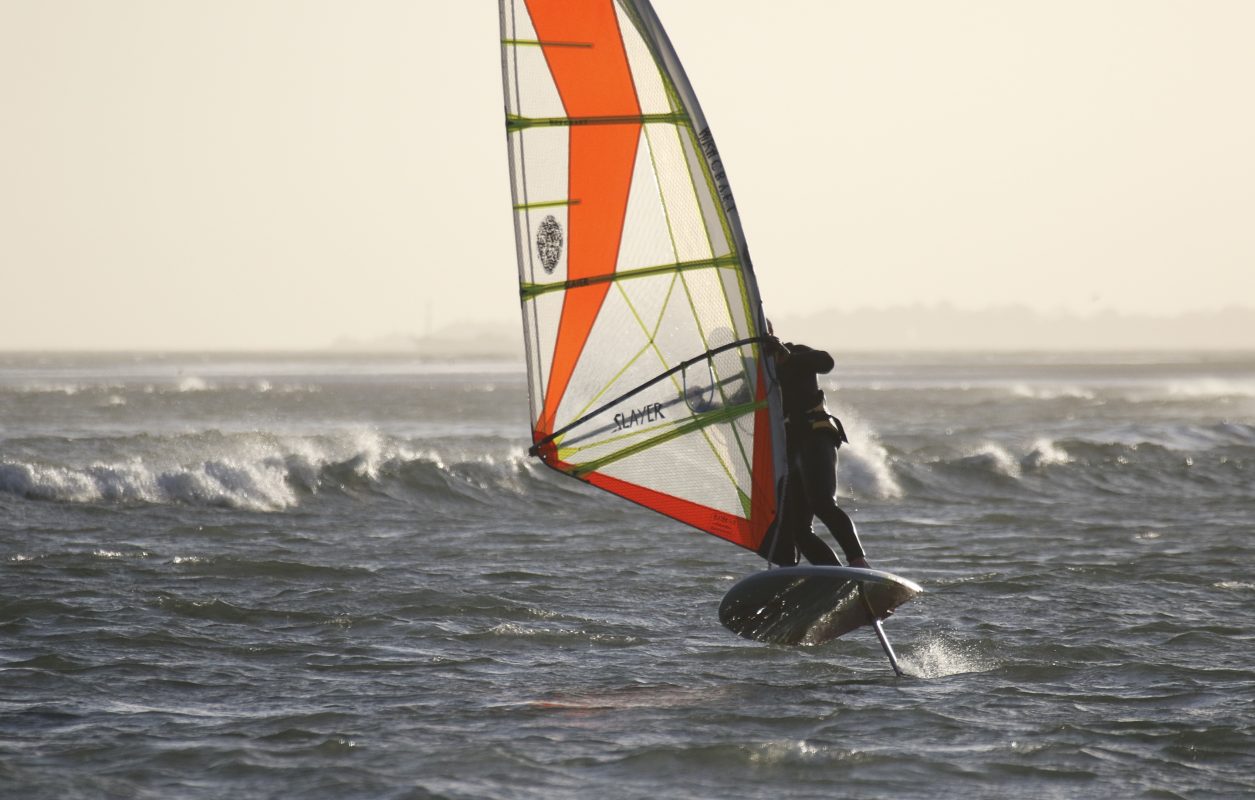
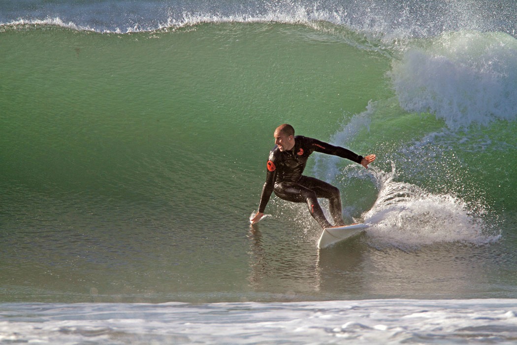
The weather’s anything but predictable at the moment (if ever). Back at the start of December (2021) the Met Office were predicting a calmer period between Christmas and New Year. Well, we all know that’s not come to fruition. Looking out of the window it’s breezy, drizzly, mild and the surf’s a mess! So, good for wind sports, like kitesurfing and windsurfing, but rubbish for surfing. (Unless you know where to head when it’s like this).
As 2021 comes to a close what’s the likelihood of a wave filled January? Or will it remain as is and have all the wind heads frothing? Maybe there’s snow on the horizon? Maybe not… Here’s what the long range forecast for January 2022 looks like according to the Met Office.
Tuesday 4 Jan – Thursday 13 Jan
Temperatures are expected to fall to around or slightly below average early next week with overnight frost becoming more widespread for a time. Some wintry showers with snow to fairly low levels is possible in the north with cloud and rain clearing to drier and brighter conditions further south. This regime is likely to be short-lived though as a return to a milder, unsettled pattern with Atlantic weather systems moving across the country is expected through the second half of next week onwards. This will likely bring spells of rain, occasional snow to hills in the north, accompanied by strong winds at times. Overall, temperatures are expected to be above average, although some temporary colder periods are likely.
Friday 14 Jan – Friday 28 Jan
Through the second half of January, a continuation of the rather changeable regime is expected with spells of wet and windy weather interspersed by drier, brighter periods. Temperatures are overall expected to remain slightly above average as a result of mild spells and shorter-lived colder periods. These shorter-lived colder periods may still allow for some snow but this will typically fall over hills in the north. Later in the month, there is a tentative sign of more settled spells developing, particularly across the south which would increase the chance of overnight frost and fog here.
So typically the outlook’s pretty changeable. This is hardly surprising considering the time of year. And also considering weather predictions are only guides. As you can never really be that sure until around three days out. And even then nothing’s guaranteed.
For watersports of all types, this is actually good news. Especially if you practice more than one discipline. Optimistically (and positively) the weather scenario described above should give chance to get out and ride multiple types of craft. Wave powered, sail powred, kite powered and hydrofoil orientated conditions will probably materialize at points. We say it often but it certainly pays to be a rider of all types of craft if you reside in the UK. Maximizing float time will this way be guaranteed.
Whatever happens over the coming weeks we trust you’ll all enjoy the fruitful and watery start to the New Year. Have fun, stay safe and we’ll see you on the other side. Happy New Year!
You can see more of Met Office’s long range weather here.

